I occasionally choose to do hard things.

In the book Own the Day, Own Your Life Aubry Marcus suggests making your brain chemistry work for you by creating small successes, especially early in the day: Decide that you’re going to do something, and then do it. Even a small thing—deciding to mediate for 5 minutes and then doing so—gives you a little dopamine hit. That makes you feel better immediately, and possibly for the rest of the day. More to the point, repeatedly achieving small successes like this gradually boosts your capability: You can decide to do harder things (get in your workout, go for a run, write 5 pages of your novel) and then do them.

In an episode of her Move Your DNA podcast, Katy Bowman juxtaposes the feeling of satisfaction that you get when you set yourself to do something that you know will be hard and then carry through all the way to completion, with the feeling of being comfortable, saying:

What we’re trying to create through comfort is like the synthetic version of what you get when you pass through those hoops.

Katy Bowman

I think there’s a lot of truth to that. It’s very satisfying to decide to do something that’s hard and then do that thing. It feels good. I’m not sure it feels good in the same way that sitting in a comfy chair feels good, but I think there is a connection. Sitting down feels really good after a long run when your legs are tired; sitting in a really comfy chair kinda feels like that, without the need to go for the long run first.

I occasionally do physically hard things. I’ve run several footraces, at distances up to 7.1 miles. I did a century bicycle ride. Jackie and I day-hiked the 33.4-mile Kal-Haven trail. And it’s very true: choosing to do a hard thing knowing that it will be hard, and then doing the whole thing even though it is hard, is very satisfying.

However, there’s another entirely legitimate perspective:

A sentence I read today in an outdoors magazine: “You are in danger of living a life so comfortable and soft that you will die without ever realizing your true potential.” Danger? Like, that’s my life goal. 😬First world folk are… interesting.

zeynep tufekci (@zeynep) January 13, 2019

She says that—but she also apparently reads outdoor magazines, so I suspect even she sees the value in doing hard things.

Jackie and I went for a nice walk yesterday, through the prairie and woods next to Winfield Village. We walked about four miles altogether.

Toward the end of the walk I paused to retie a boot, and found that my back was really tight. Bending down caused pain in my sacroiliac joints.

It was odd because it was a familiar sensation, but an old familiar sensation. I used to feel that pretty often on a long walk, but I hadn’t felt it lately. Without really thinking about it, I had attributed the change to general improvements in fitness and flexibility. But here after a fairly short walk that old pain was back again.

I was briefly puzzled, but realized right away what had happened: Because the walk was going to be wet and muddy, I’d worn my old heavily lugged goretex hiking boots.

These used to be my main boots; they’re the ones I wore on my 33-mile Kal-Haven Trail hike. I’ve kept them because I haven’t found a satisfactory pair of waterproof minimal boots, and I’ve worn them right along over the three or four years I’ve been transitioning to minimalist footwear, whenever I needed waterproofness or a heavily lugged sole. But they have the big downsides of non-minimalists shoes: Their thicker heel jacks up my posture, and their rigid sole keeps my feet from adapting to the terrain.

It might not be just the footwear. The trail was muddy enough that every step was a bit of an adventure—my foot would sink into the ground, but it would sink a different amount each step, making it hard to establish and maintain a consistent gait. I wouldn’t be surprised if that didn’t play into making my back feel a bit wonky after a couple of miles.

But clearly it’s time to retire these old boots and find some waterproof minimalist boots with sufficiently lugged soles to handle some short, steep hills on a muddy trail.

If you’ve got any suggestions, I’d be glad to hear them. Comment below, or send me email! (Email address on my contact page.)

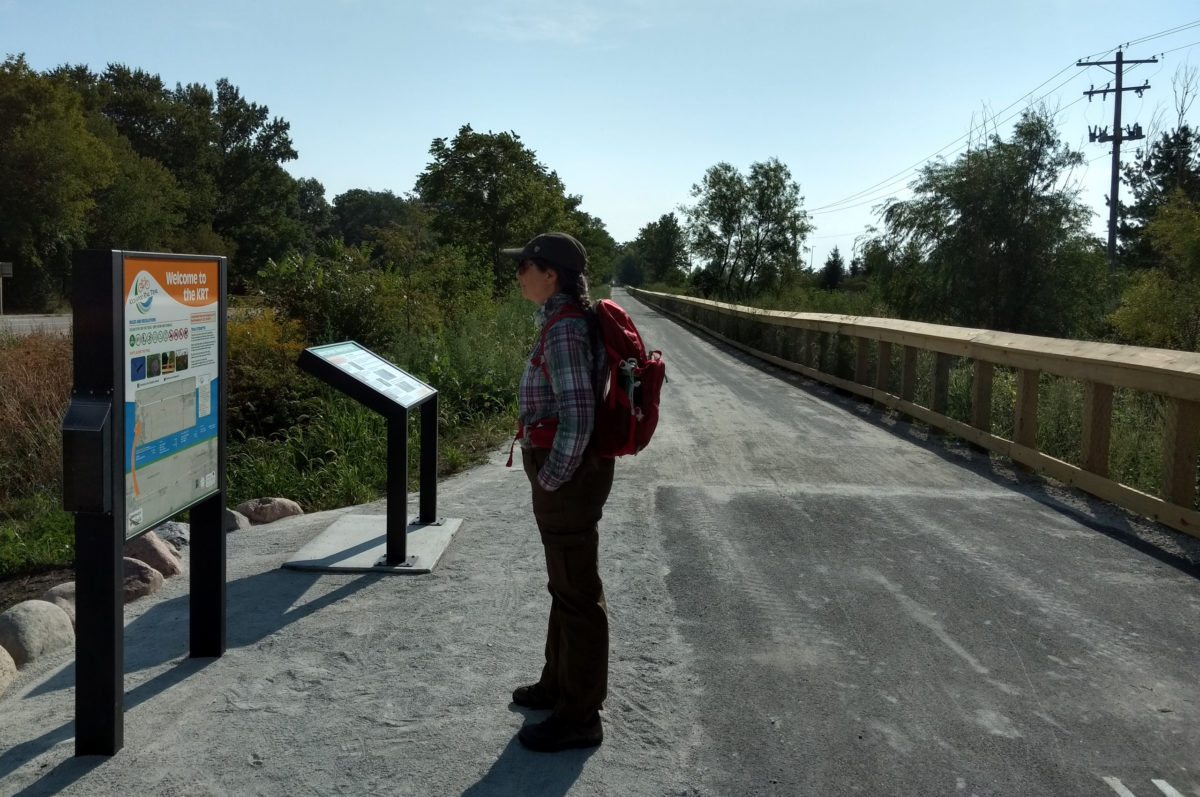
The Kickapoo Rail Trail had its ribbon-cutting Friday. Jackie and I attended as volunteers for the Champaign Forest Preserve District. We walked a short distance that evening, but our feet were tired after spending a couple of hours passing out flyers and listening to local dignitaries speak, so we cut that walk short.

We returned on Sunday to make a proper walk of it.

We parked at the Urbana WalMart (which has said that it’s okay for hikers and bikers to park there, as long as they park in the northwest corner, which is where you’d want to park anyway).

Then we hiked pretty much the whole trail: From High Cross Road to the end of the trail in St. Joseph and back again. We had lunch at the Wheelhouse, a pretty good restaurant in St. Joe that’s right there on the trail, and is appropriately cycling-themed. The only part of the trail that we didn’t hike is the short stretch west of High Cross Road that runs to Main Street where it nips up to University.

It’s a great trail. As Jackie and I discovered when we hiked the Kal-Haven trail, that crushed limestone is a great surface—hard enough for even a skinny-tired bicycle, soft enough to be gentle on feet that are going to be getting a pounding over a long hike, relatively cheap and easy to maintain.

There were a lot of cyclists out on the trail; they outnumbered the walkers by maybe 20 to 1. I guess that makes sense. The round trip is over 13 miles, which puts it up close to what I consider a very long walk (anything over 14 miles), but quite a modest distance for a bicyclist.

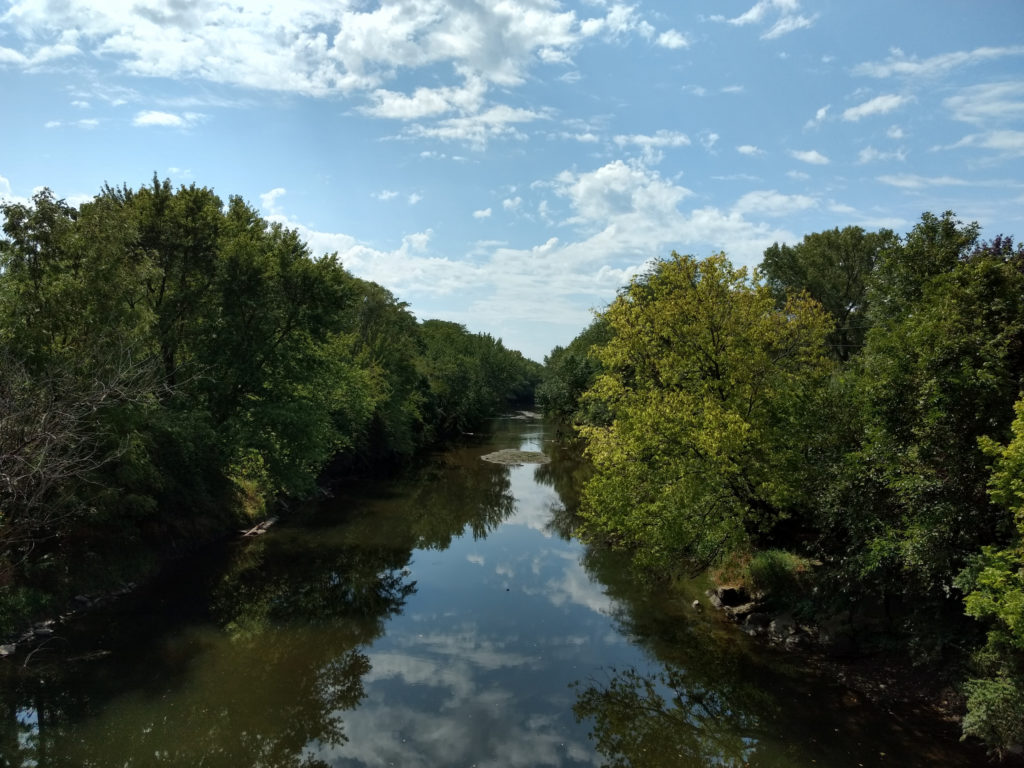
Sights along the trail include this spectacular view from the bridge over the Salt Fork:

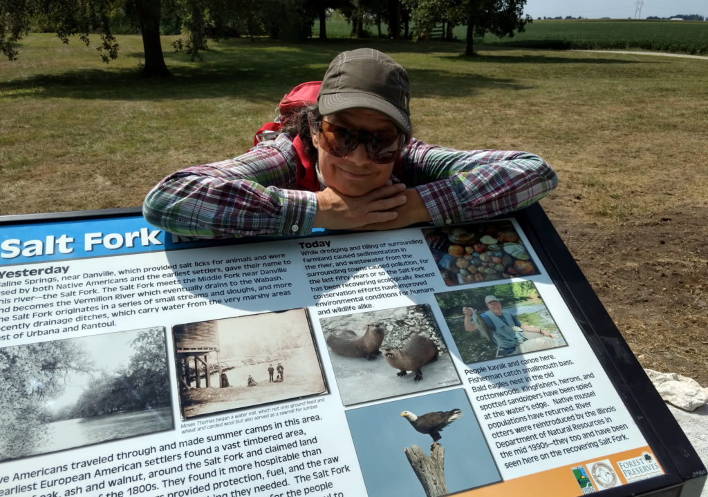
There are supposedly river otters along the Salt Fork now, according to the text on this sign, but we didn’t see any. (“They hide from you,” says my brother.)

We will be back to bicycle the trail very soon. I don’t know if walking it will be a regular thing or not, but at a minimum we’ll get out to walk the stretch west of High Cross Road that we haven’t done yet.

My dad has fond memories of the old rail right-of-way from when he was a grad student (this would have been the late 1950s) and his advisor brought students out to there to see prairie remnants. Seeing this land properly preserved is wonderful, and I’m very much looking forward to the expansion of prairie species along the path that will follow with proper management.

We’re very excited about future plans for the trail. It’ll be years before it connects all the way to Danville, but there are bits that’ll probably get done sooner—trails heads at Weaver Park and Kolb Park, a short extension that will take it a few blocks further through St. Joseph (to the road to Homer Lake).

If you’re local, you should get out and bike or walk it at your next opportunity. It’s a wonderful trail.

I think Champaign-Urbana is great. The university gives it cultural and scientific amenities far beyond its size. It’s a cheap place to live, which not only enables my lifestyle, it enables the lifestyle of any number of clever creative people who choose to live where they can make enough from their art to support themselves.

Just about the only thing that CU really lacks is relief—that is, a variation in height from one place to another.

What I mean to say is: it’s really, really flat. Take for example, this image:

Looking toward Yankee Ridge

That’s the hilly direction. I’m looking toward Yankee Ridge, which is about three miles away from where I’m standing. It may not look like much, but that hill in the distance is a big deal when you’re on a bicycle. At least, it is if you’re used to riding in Central Illinois.

Given the terrain, we don’t get enough hiking on hills, unless we make an effort to go to the hills. So, that’s what we did yesterday. We drove to Fox Ridge, a nearby state park which has some hills.

I remember hiking in Fox Ridge last summer, shortly before our big Kal-Haven trail hike, and finding that we were in pretty good shape for dealing with the hills, despite our very limited practice. That was less true this spring. I was a bit tired from my unexpectedly fast run the previous day, and we were both a bit out of shape from a lack of hills over the winter.

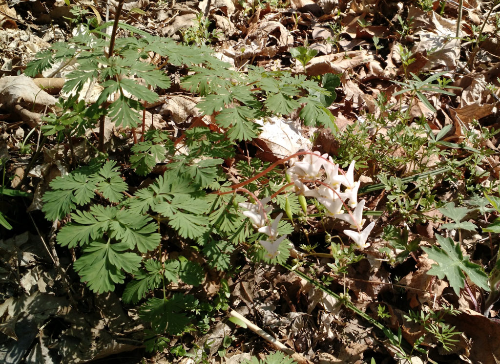
Still, we did okay. We saw some spring wildflowers, like these dutchman’s breeches:

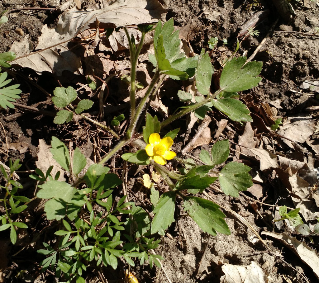
img_20160416_101623469_26401844861_oAnd this buttercup:

img_20160416_101630244_26468029235_o

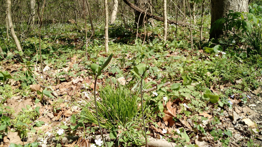
And this solomon’s seal:

img_20160416_110056171_26401892471_oTotal hiking was probably only a little over 3 miles, but the hills made it a very different sort of hike than our much longer hikes closer to home. Plus, we got to spend time in the woods.

So, that’s another bonus of Champaign-Urbana: We’ve got Fox Ridge State Park just 50 miles away.

Two years we trained for this particular very long walk, without getting it together to make the trip to Kalamazoo during the few summer weeks when the days are long enough to through-hike the Kal-Haven Trail in a day. This year we made it happen.

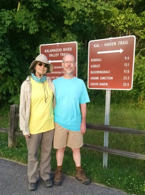
At the trailheadWe meant to be at the trailhead by dawn which was 6:05 AM, but breakfast and final checking of gear took a little longer than we’d hoped. It was almost one hour later when we posed for pictures in front of the sign. We were walking just a few minutes later. Jackie started Endomondo at 7:06.

My brother, Steven Brewer, had offered to drive support, and did a great job. He drove us to the trailhead, met us at four or five points along the way to provide fresh, cold bottles of water, laid out a sumptuous, bounteous feast for lunch, and took pictures along the way. (He has written his own account of the walk.)

We made excellent time through the morning, clocking out a whole series of sub-18-minute miles, and reached Gobles a few minutes before noon.

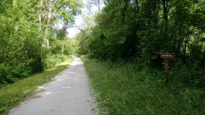
The crushed limestone surface was great—smooth, level, hard enough for efficient walking, gentler than concrete. (There was one stretch in Bloomingdale that had been resurfaced with asphalt, which was much harder on the feet.)

photo_18363558004_oThere was one downside to the surface, though. Almost as it it were designed that way, my tread caught the limestone and pitched it forwards into my boots. I had to stop every few miles and shake a teaspoon of limestone grit out of my boots.

Still great for walking on, and kinda pretty.

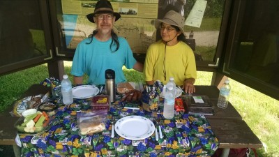
I had made sandwiches, and Steven had gotten all sorts of stuff to go with them—german potato salad, red bananas, hummus, flat bread, raspberries, raw veggies, and brownies for desert.

Trailside FeastBehold our awesome lunch, served trailside, complete with cloth napkins.

It took some minutes to loosen up after we got started going again, but we were almost matching our pace, carrying on with sub-20-minute miles right along until we hit mile 25.

I was still feeling pretty good then. We had slowed down a bit, but as we passed mile 27, I tweeted, “Has blown through marathon distance and is pressing for 33.5 miles. South Haven here we come!”

Pretty much just about then, though, I started dragging a bit. We had walked farther than we’ve ever walked before, and the last few miles were tough.

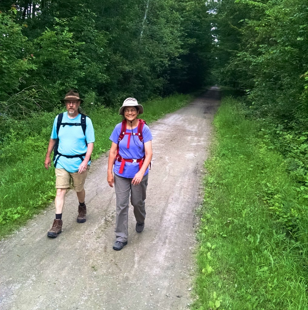
We pressed on, walking at perhaps a 22-minute pace. Jackie held up better than I did, as you can perhaps tell from this picture, taken very close to the end of the trail. Steven had suggested that we smile, and both Jackie and I did our best:

Approaching South HavenAt that point it was merely a matter of trudging on. We wrapped up at 33.41 miles as measured by Endomondo, and Steven popped us into the car and drove us to the restaurant for a celebratory feast.

At about that point, my body seemed to have lost the ability to thermoregulate—I was shivering so hard my teeth were chattering in the slightly cool air of the South Haven evening.

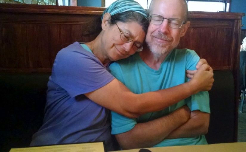
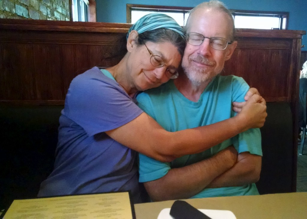
Jackie wrapped her arms around me to keep me warm, and Steven got this picture as well:

18964591362_299df20f06_oAfter a good night’s sleep, a big breakfast, and a nap after lunch, I think we’re all largely recovered. I stiffen up a bit if I sit still, but am not really even very sore. In the morning we got out to play Ingress, and I was able to walk around pretty much as usual. I’ll take at least one more day off before I go for a run, but basically I feel fine.

We have no plans for even longer walks, but we’ll certainly keep walking, perhaps expanding to multi-day through-hikes of the sort where your gear is schlepped for you from B&B to B&B.

It was a great experience!

Over the past three years, Jackie and I have done a lot of walks where the distance came in at around 20 miles, but we’d never actually reached 26.2. Yesterday we did.

In many ways, this was just another training walk for our planned Kal-Haven trail walk—which is why we hadn’t hit this distance before: We’re much more concerned with not hurting ourselves before the big walk than we are with hitting any arbitrary distance in advance.

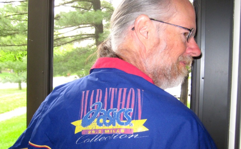
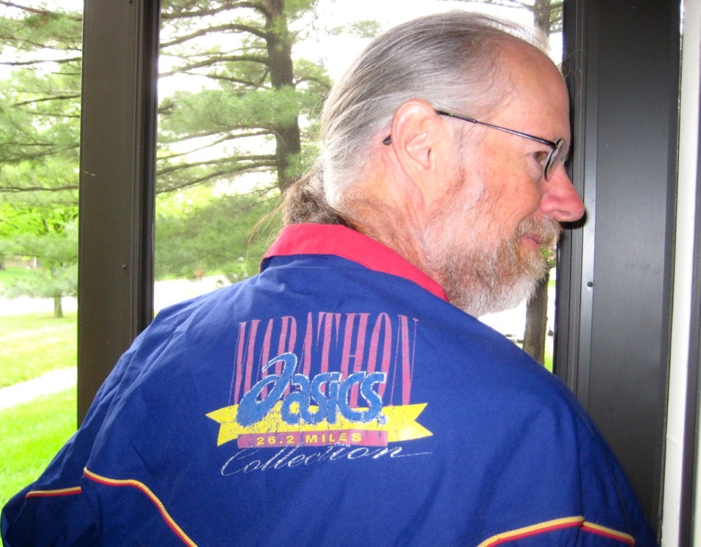
Still, I’m glad to have finally walked 26.2 miles, because now I don’t have to feel like an imposter when I wear my rain jacket:

me-in-marathon-rain-jacket
Me in my marathon rain jacket. Photo by Jackie Brewer.

I got this jacket long ago—at least 15 years ago, maybe longer. I remember finding a gore tex rain jacket in the Sierra Trading Post catalog at about an 80% discount. I think it was so cheap mostly because it doesn’t have a hood, which is a deficiency for a rain jacket, but the large marathon graphic on the back may also have put off some people who were not marathoners.

I snapped one up immediately. Only after I had secured mine did I share the catalog with a friend at work who I thought would also be pleased with a cheap gore tex jacket. (He bought one too. For years we were occasional twinsies on warm rainy days.)

All these years it has been my main rain jacket, and all that time I’ve been just a little uncomfortable wearing a jacket so prominently marked as being for marathoners. Now, finally, I can quit worrying about it.

We were walking rather than running, so we were on the road a long time—almost ten and a half hours. (The people who win marathons run them in a little over 2 hours; middle-of-the-pack runners tend to finish in 3–4 hours.)

It was a great walk, although we were feeling pretty tired the last few miles. We went up to our old neighborhood and walked around our old apartment complex. (It looks a bit more empty than when we were there.) We walked up the Greenbelt Bikeway, then headed east to our summer place. (It looks exactly the same as it did when we lived there last year.) Then we walked through the water amenities at Second Street, and onward to Busey Woods. Then down Race Street to Orchard Downs and across through the arboretum and the research park. We went north to Florida to cross the railroad tracks, then headed south along the Boulware Trail and on into Savoy. We went west just a bit to take the path along Prospect down to Curtis and thence to home, taking a slightly long route through Winfield Village (with a tiny diversion into our prairie) to be sure we hit the target mileage.

In the end we went 26.4 miles. Here’s the Endomondo data:

I went for my first outdoor run of the year on Sunday. It was the first day that the paths were clear enough of ice and snow to make it possible.

Although the paths were mostly clear of ice and snow, there was a lot of melt water, flowing across the path in hundreds of rivulets. I found myself integrating into my run hundreds of small leaps, in a (partially successful) effort to keep my feet dry.

I was well aware of the leaps as I did them—I remember making a conscious effort to refrain from favoring one side over the other, trying to execute each leap with the most natural foot leading, based on my current point in my stride as I approached.

For some reason, all those leaps were not the first thing that came to mind the next day, when my calves were as sore as they have ever been. I was just sad at how much more out-of-shape I must be than I had realized, to be so crippled by a simple three-mile run. (They hurt a lot more than when I actually tore a calf muscle a couple years ago.) It was only late Tuesday, when I was heading to teach my taiji class, that I jumped over a similar stream of water in a parking lot—one calf screaming when I launched, the other screaming when I landed—that I realized that it was the leaping that had done such a number on me.

With that reassurance I felt much better, and by Wednesday my calves were feeling much better, which was good because Wednesday Jackie and I went on our first long walk of the year, part of the series of long walks we’re taking to prepare for the 33.5-mile Kal-Haven Trail walk that we’ve been meaning to take for a couple of years now. We’re quite determined that this will be the year.

For our first long walk we walked to taiji, attended our class, and then walked on to downtown Urbana and had lunch at Crane Alley (good beer). After lunch we walked back through campus. Having exceeded our planned distance (we wanted to do 10 miles and got in 11.5), we caught a bus at the south end of campus to go the rest of the way home. (The walk home from the south end of campus isn’t far, but there’s no good footpath. I think during the summer, when it’s possible to walk along the side of the farmer’s fields, it’ll be a fine walking route, but yesterday it would have been too wet and muddy.)

It was warm enough that I was able to expose my forearms to the sun!

My training plan, such as it is, covers just the long walks—we’ll include many shorter walks in our daily activity, and plenty of medium walks as well. But the long walk plan looks like this:

  • first-half March: 10 miles — done
  • second-half March: 15 miles
  • first-half April: 20 miles
  • second-half April: 26.2 miles (because why not?)
  • first-half May: 30 miles

The main event is planned for roughly June 18th, but it will depend on the exact schedule of when we go to visit my dad and what the weather looks like those days. I figure we’ll be fit enough to do a very long walk of the planned distance any time after mid-May, so that gives us a month’s cushion to allow for any glitches.

I’m kind of excited about possible medium-length walks from our new house, here south of town. All of south campus is reasonably close, including, for example, the Arboretum with its cherry trees, which should be in bloom in about a month. It might make sense to walk there several times in early April, to keep up with the progress of the cherry blossoms, and take the opportunity for both haiku and photographs.

The most obvious way to walk (starting with the exact route from south Campus that I rejected yesterday) would be about 3 miles each way, the first half along the sides of country roads. As I say, it should be an entirely satisfactory route anytime the ground isn’t too wet.

Here’s the details for Sunday’s run:

And here’s the details for Wednesday’s walk:

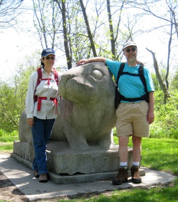
jackie-phil-giant-rabbit
With giant rabbit sculpture in Meadowbrook Park.

We’re just about there. The Kal-Haven trail is 33.5 miles, and yesterday we walked 23.3.

My plan had been “more than 20,” and we managed that, although we went a bit over.

It turns out to be surprisingly hard to plan a route with a very specific distance, if you want the route to be interesting. (It would be easy enough if you were willing to just map about a 2-mile loop and walk it 10 times.)

We did pretty well in the past using Google Maps to plan a route, entering waypoints and then going in and tweaking Google’s suggested route to match what we knew we were going to want to do. I did that again, but with a walk this long, I ran into some limits I don’t remember hitting before. In particular, there seems to be a 10-waypoint limit, and those “tweaks” to the route seem to use up waypoints. I don’t know if that wasn’t true with the old Google maps, or if our earlier walks just didn’t need more waypoints than that.

Without being able to tweak the route to match what we were going to do, I just entered points of interest for each of the corners of our walk, then fiddled with them a bit until I saw that we were at 20.1 miles. Then I figured we could just adjust it on the fly. It almost worked.

The route was pretty similar to our longest walk of last year, except that we’ve decided to carry our lunch on the trail, so we skipped the leg to Milo’s Restaurant. We walked to the Olympic Monument near Parkland College, then to Busey Woods (via downtown Champaign and Crystal Lake Park), then to Meadowbrook Park, where we had our lunch at the Prairie Viewing Platform. (We paused shortly after to get the above picture of us posing with the giant rabbit sculpture.)

The other place I particular thought we ought to stop was Triptych Brewery, which we’d never made it to before, even though they’ve been there for a year. (We go almost right past it several times a week—in particular, when she walks home from taiji class, Jackie passes just three or four blocks away—but always in the morning when it seems a little early for beer, and anyway they’re not open.)

It wouldn’t be a long walk from Meadowbrook to Triptych, if you wanted to walk along Windsor Road, but that sounded unpleasant. Instead we hiked north up Race and then cut across through married student housing and the arboretum, took Hawthorn through the research park, crossed the railroad tracks at St. Mary’s, and then headed back south on the Boulware Trail. That probably added a good mile to our route.

We made it to Triptych around 4:00 PM. The joint was hopping, which was good to see. They had about 10 beers on tap. Jackie had a honey basil blonde ale, which she liked very well. (The honey and basil were very subtle, she said.) I had their dry Irish stout, which was also excellent.

As we were passing through the research park, we’d calculated the distance we were going to end up walking (because of her walks from taiji, Jackie knew just how far it would be from Triptych to home), and we knew we were going to come out over our planned 20 miles. But we really wanted those beers, so we decided to just take the most direct routes and hope for the best. And it worked out fine.

The first 5 miles over our previous very long walk was no problem. After that, things got kinda tough—we were tired and footsore—but there was never a point where we worried that we might not make it. If you’re interested, Endomondo has the GPS track and details. (Ignore the altitude data. When the phone loses the GPS signal, it often inserts a point with an altitude of zero. However, no point in Champaign County is at sea level.)

In my report last week on our previous very long walk, I mentioned that my plan for after the 20-mile hike would be a 25-mile hike. Almost as soon as I’d posted that, I realized that obviously our next hike should be 26.2 miles. Duh.

The Illinois Marathon passes just a few blocks from our apartment. The closest point is very near the midpoint of the race.

I grabbed the map off their website, and figured we could just walk to the nearest point, pick up the route there, walk it until the finish line, cross over to the starting line (just a block or two from the start) and then carry on until we get back to the midpoint, and then go home.

It’s not a plan yet. More of an intention. Maybe just a notion.

Today we’re going to rest, have a mother’s day lunch with Jackie’s mom, and take her out for something fun. Maybe a walk in the woods, or maybe (if the predicted rain arrives) to the art museum.

Red bridge in a Japanese Garden

Jackie and I did another of our very long walks yesterday, going 18.25 miles. We hope to go even farther in a walk in a couple of weeks (we’re tentatively thinking 20 miles), but that will probably be the last time this year that we do a new longest walk ever, simply due to limited daylight as the year winds down.

Like the last couple of very long walks, we stuck with Milo’s as our lunch destination. If you go the shortest way possible, it’s about 14 miles there and back. We were aiming for a bit over 17, so we had to add some short side trips to get the length up. We went by way of the research park and had coffee at the iHotel, went through Meadowbrook Park, and then after lunch briefly visited Crystal Lake Park as well.

I’ve brought my camera on almost all of these walks, but have hardly taken any pictures. This time, I took some pictures.

We’d walked through Meadowbrook Park on a couple of our previous walks, but usually after lunch. This time we did Meadowbrook Park before lunch—and we walked the prairie path, rather than taking the paved paths through the sculpture garden.

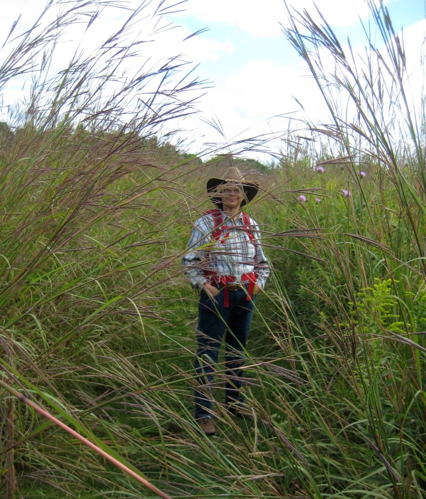
It was fun to see Jackie through the big bluestem.

Jackie standing amidst big bluestem
Jackie in the prairie at Meadowbrook Park

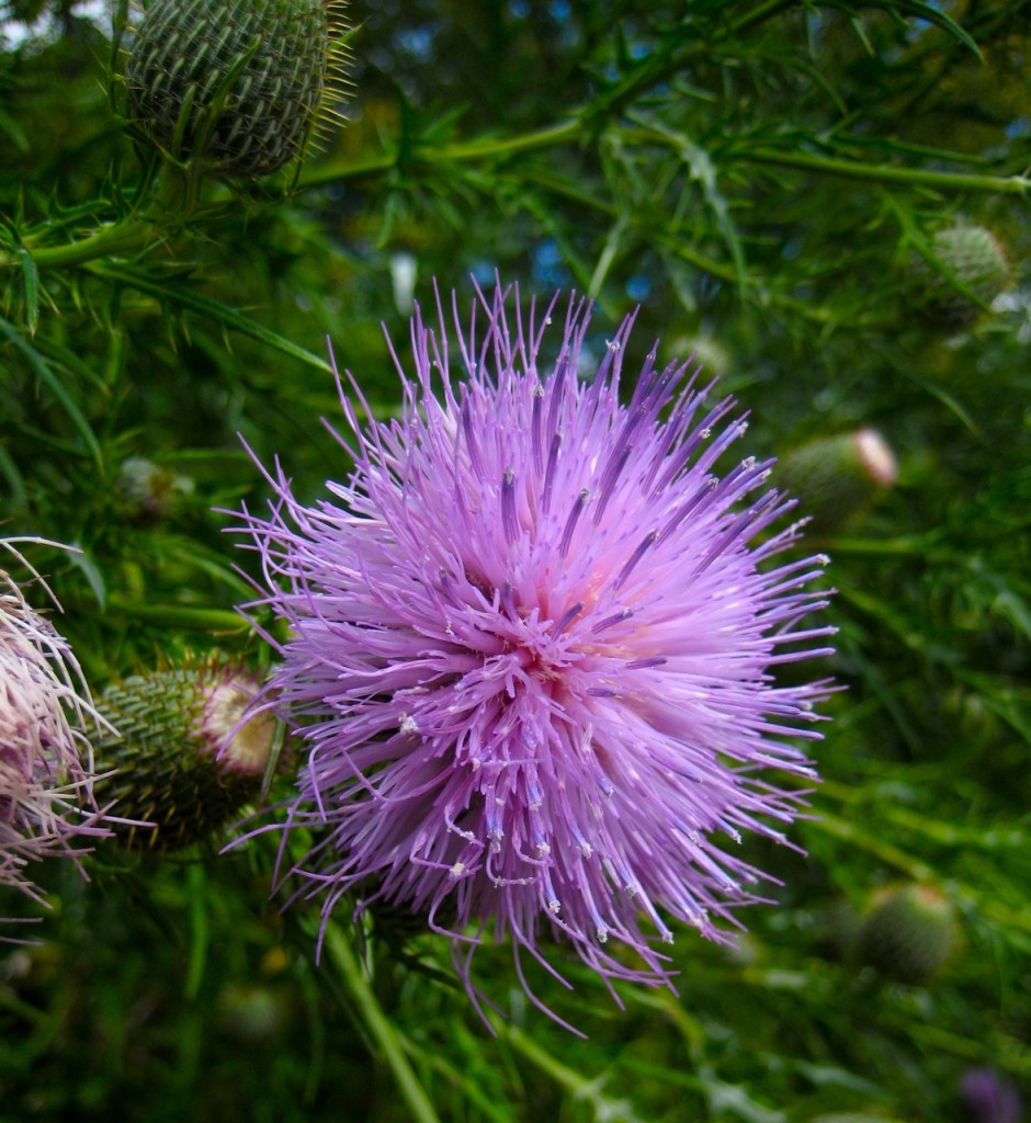
I was also pretty pleased with this picture of a thistle flower, taken just a few yards further down the path.

Thistle Flower
Thistle flower in the prairie at Meadowbrook Park

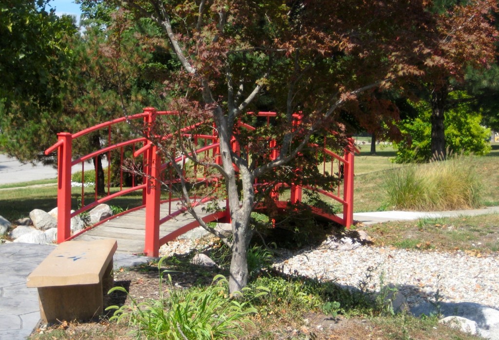
After lunch we proceeded toward Urbana, passing through the neighborhood where Jackie used to live before we started dating. One feature of that neighborhood is a little Japanese Garden. Jackie and I used to visit it pretty often. Eventually the last couple of reasons to visit that neighborhood vanished, and we quit going. I was pleased to get there again, although a little sad to see that they’d given up on the water features, and instead filled the pools with gravel. It’s not the same.

Red bridge in a Japanese Garden
The red bridge at the Japanese Garden near Sunnycrest

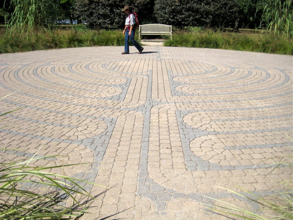
We also did a preposterous thing. In the midst of our very long walk, we paused to walk the labyrinth in Crystal Lake Park. (Endomondo did not seem to give us credit for this extra walking. I suppose at the level of precision possible with GPS, someone walking a labyrinth looks an awful lot like someone sitting at a bench.)

Jackie walking the labyrinth at Crystal Lake Park

For those who are interested in such things, here’s the data on our walk, via Endomondo:

It was a good walk.

Continuing our series of long walks to prepare for a possible through hike of the Kal-Haven trail, Jackie and I walked 16.72 miles today.

We walked to the University of Illinois’s arboretum, and then on through south Urbana to Milo’s where we had lunch. Then we walked to Meadowbrook Park and along the trail that goes along the south and west edges of the park, then through married student housing to the old Motorola building (where OLLI is now) to refill our water bottles, and then on home.

Jackie has asked that I specifically mention that we got a very close look at three juvenile Stufflesbeam (the plural of Stufflebeam, which is what we call ground hogs), just on the west side of the railroad embankment where Stadium Drive crosses Neil. One in particular stood just a few feet away, eating grass with great enthusiasm, close enough to give us a great view of his little nose.

Here’s what my tablet captured via Endomondo:

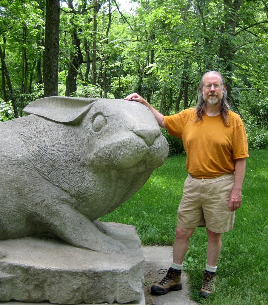
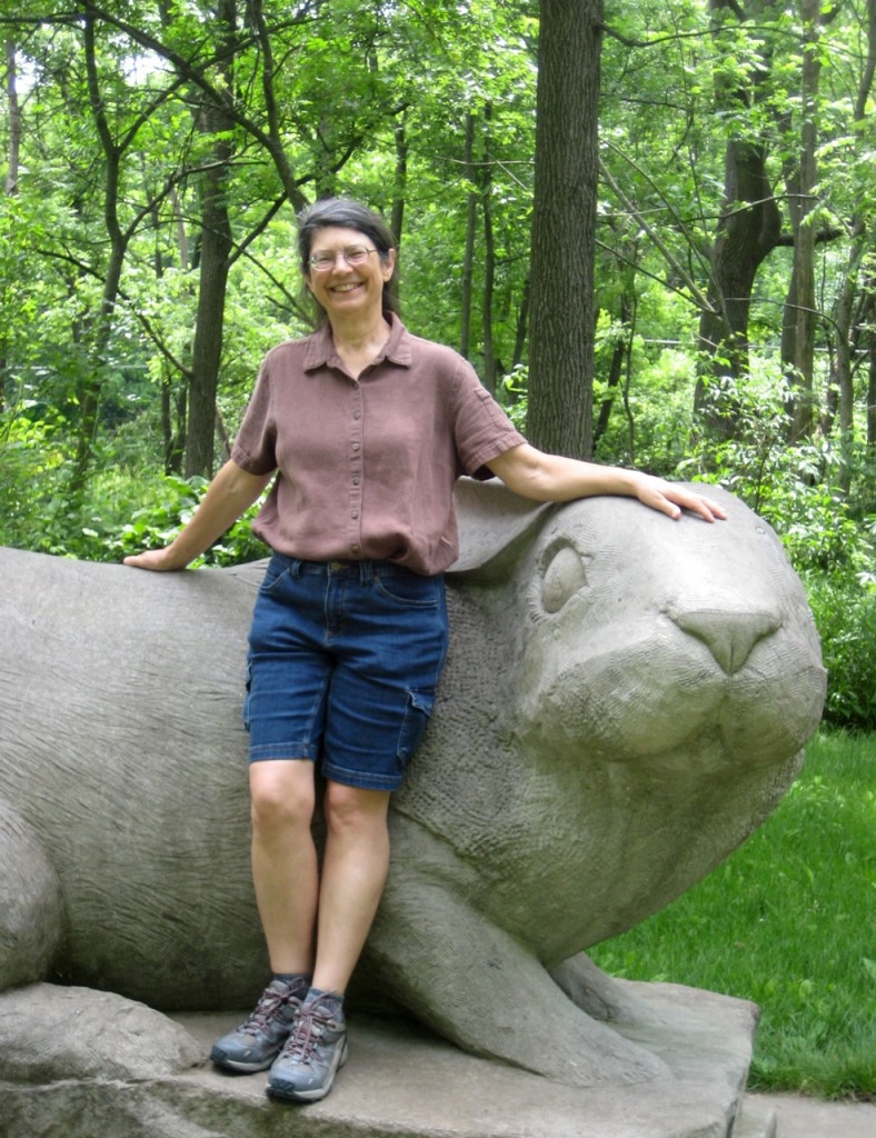
Jackie and I took a couple of pictures of one another with one of our favorite sculptures. We like this sculpture for various reasons, but one is that the very first time we came upon it, suddenly and unexpectedly as we took a turn in the path, we both had the same thought—and we both knew that the other was having that thought: “Anya wouldn’t like that!”

The picture Jackie took of me is pretty good—that’s what I look like. It’s of some interest to me because we took pictures with this sculpture a few years ago, and I didn’t like the pictures of me because of my weight at the time, and there was no way to crop the picture to hide my stomach and yet keep the rabbit sculpture.

I like this one better.

phil-with-rabbit

And, although Jackie just got an ordinary good picture of me, I managed to get a great picture of Jackie.

jackie-with-rabbit

It’s a perfect picture of the Jackie I know—the Jackie I’ve been married to for 21 years.